Copyright 2020 - 2021 irantour.tours all right reserved
Designed by Behsazanhost
The Geographical situation of Iran
The Geographical situation of Iran
By: Mohammad Hassan Talebian
Iran is located southwest of the Asian Continent. From the north, the country borders the Caucasus and Caspian Sea (Mazandaran Sea) and Central Asia. From the east, it borders Afghanistan and Pakistan. from the south with the Persian Gulf and Sea of Oman, and from the west, it is bounded by Iraq and Turkey. Present Iran is part of a bigger mountainous plateau that incorporated several seas, lakes, and plains including the Caspian Sea at the north, the Jeyhoon and Seyhoon plains, the steppes in the northeast, the Koora (Koorosh) Plain at the northwest, the Punjab Valley at the southeast, Sea of Oman and the Persian Gulf at south and Mesopotamia region between Tigris and Euphrates at west. In fact, the former bigger Iranian plateau covered an area of 2,600,000 sq. km out of which only 1,648,000 sq. km belongs to present Iran.
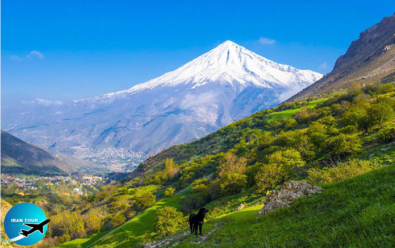 |
Iran is a giant parallelogram fallen between the Persian Gulf and Sea of Oman in the south and the Caspian Sea in the north and has served as a bridge and corridor between Central Asia and Western Asia. Its bigger diameter stretches from Ararat Mountain in the north to Guatr Port in the south at a distance of 2,210 kilometers and its smaller diameter stretches from Sarakhs River at the north to Arvandrud River in the south at a distance of 1,400 kilometers. Half of Iran is mountainous. One-fourth of the country is fertile and one-fourth is barren and salty. The latitude of the country at the farthest edge or Guatr Port is 25 degrees and the latitude at the northwest extremity bordering Ararat Plain is 40 degrees. The country's longitude varies between 44 degrees and 63.5 degrees compared to Greenwich Time in London. The farthest eastern point reaches Kuhak at the border with Pakistan and the farthest western edge is the Bazargan border town which neighbors Turkey. The difference in time between the farthest eastern town compared to the farthest western town is approximately 1.18 hours. Iran has a 468 km border with Turkey, a 1609 km border with Iraq, 945 km with Afghanistan, 978 km with Pakistan, 40 km with Armenia, 768 km with the Azerbaijan Republic, and 1206 km with the Turkmenistan Republic. As a whole, the country's circumference is 8,731 kilometers from the Caspian Sea to the Persian Gulf and the Sea of Oman. Out of 160 million hectares in the country, about 20.7% is desert and barren, 54.9% is covered by plains, 7.6% is covered by forests and the remaining 14.4% is fertile.
 |
Nature Climate and temperature difference
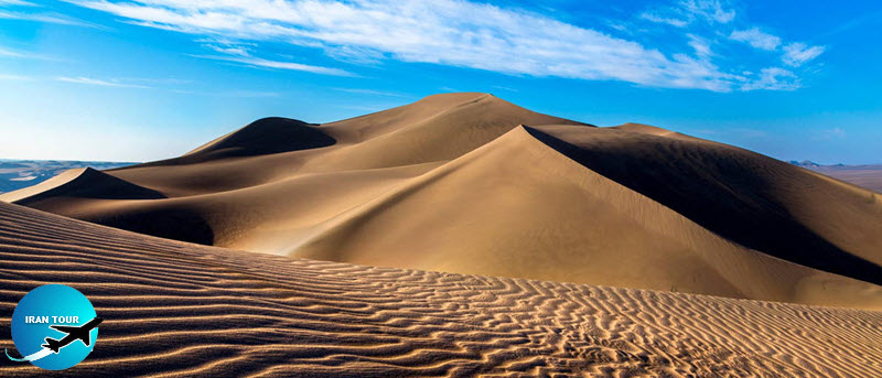
Iran falls in a moderate and dry climate in the north and approaches the tropic line in the south. Such a geographical condition and distance from oceans and sea hurricanes has rendered Iran's climate dry and barren, but thanks to its vastness and various natural features such as high mountains in the north and west and vast lowlands in the center and the fact that it neighbors the Caspian Sea, the Persian Gulf, and the Indian Ocean at south the country enjoys a variety of climates.
Iran is a high plateau neighboring vast plains in Asia and its average elevation from sea level is approximately 1200 m. Because of very high mountains (some of which are beyond 4000 m from sea level) and the Caspian Sea in the north and the Persian Gulf in the south and the fact that the whole country is surrounded by mountains Iran is a rare country in which one can find different climates.
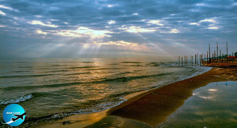 |
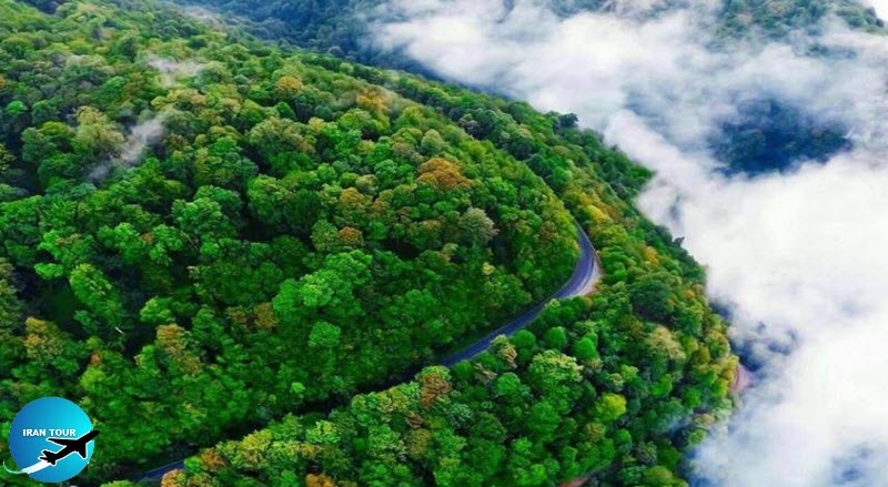
The mountain belt surrounding Iran is so high that prevents the moist winds blowing from the Caspian Sea or the Mediterranean Sea, the Persian Gulf, and the Indian Ocean to reach inside the country. As a consequence, the regions falling outside this mountainous belt enjoy humid weather and the regions behind these mountains are dry. As a result of such a lofty mountainous belt, the amount of rainfall at the southern shores of the Caspian Sea is higher than in other regions in the country. In the west, the country enjoys a Mediterranean climate and in the southern regions, tropical and warm desert prevails. In western regions, the summer is very warm in the valleys and moderate or cold in mountainous resorts.
 |
Due to the humid climate in the south, the temperature is high. The maximum temperature in Khuzestan sometimes reaches 53°C. These regions are very hot in summer and moderate in winter and the temperature varies very slightly in the south during day and night. However, because of the lofty Alborz Mountains Range at the north and Zagros Mountain Range at the west which operates like a very high barrier rainy clouds seldom penetrate into the central Iranian plateau and these regions are arid and barren. In fact, Iran joys three sorts of climates: desert and semi-desert climate, moderate mountainous climate, and moderate Mazandaran climate.
The temperature in Iran varies from minus 30°C in Ardabil (Azerbaijan) to 70°C and above in southern regions and central deserts. Meanwhile, average rainfall in the country varies between minus 50mm to above 2000mm. As a result of such variables and because of outside and inner factors the country enjoys different climates. The farthest southern part of Iran is only one or two-degree close to the global tropic belt and as a consequence, the southern regions in the country suffer from warm weather in all seasons. In the north (with the exception of the seashores which are affected by the Caspian Sea) warm weather is seldom notable in summers and for nearly three or four months in the year the weather is very cold.
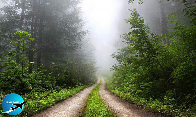 |
Regions exposed to the sea enjoy heavy rainfall and are enriched with dense jungles whereas regions surrounded by lofty mountains are dry and barren. As mentioned above there are three types of distinct climates in Iran: a. Desert and semi-desert climates cover vast acres of central parts of Iran and the southern shores of the Persian Gulf. One feature of such a climate is long periods of warm and dry weather (sometimes 7 months in a year). The amount of rainfall in such regions varies between 25 to 30 mm. Mountainous climate is divided into two zones: The cold mountainous climate dominates approximately 40,000 sq. km of Iran with an average annual rainfall of 500mm per annum. The moderate mountainous climate dominates approximately! 300,000 sq. km in Iran with an average annual rainfall of between 250mm to 600mm. Mazandarani climate: Mazandaran Province is a narrow strip between the Caspian Sea and Alborz Mountain range in which the amount! of annual rainfall varies between 600 to 2000mm per annum.
- Details
- Category: IRAN Blog